|
Investigating the Possible Sinkholes Near Camp
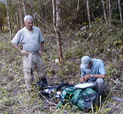
The first day of our remote-sensing mission was educational, informative, and exciting. We set off to first find the three possible sinkhole points closest to our camp: points 11, 12, and 13.
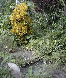
We located point 11 with relative ease as it was situated on the property of William's neighbor, Benino Hernandez (a.k.a. Cabron Loco). The point marked a small pool that Sr. Hernandez uses as a source for fresh water. This confirmed our suspicions that this point would not be a true sinkhole.
Shortly after we located the point, William noticed that Bruce had walked through a "tick ball." Bruce had over 500 small ticks, each no bigger than the head of a pin, on him. William carefully burned them off Bruce's pants with a lighter and we were on our way.
Next, we proceeded to search for point 13. We followed small trails directly to the point, which marked a steep, constricted dropoff by the road to the hydroelectric dam (the hydro road). This area had the topographic qualities we were looking for--a steep dropoff from the mountainside to the hydro road, followed by a semicircular depression dropping down even further in elevation. However, as we suspected from the DOS maps this was not the kind of feature that fit the bill.
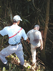
We began chopping through some thick secondary growth on our way to locate point 12. We eventually reached another semicircular depression on the side of the road leading to Chechem Ha Resort from the hydro road. Again we located a feature with properties similar to those we were searching for, yet it was not a true sinkhole.
With points 11, 12, and 13 confirmed as non-sinkhole features, we geared up to find points 4 and 5. We loaded our equipment into the project vehicle and headed approximately 3 kilometers east down the hydro road. We parked and headed off into the jungle for about 2 kilometers. After climbing a small mountain we broke for lunch and reestablished our position on the map with the GPS.
We determined that in order to reach point 4 we needed to climb over a mountaintop, then head down into a steep valley to find the point, which was 330 meters away according to the GPS. We hacked through the jungle with our machetes, crossed the summit, and began the steep decline into the valley.
What happened next was quite exciting for our group. As we began our descent the countdown to the point began on the GPS. The jungle was extremely dense, but as Cameron read off the GPS screen, "98 meters... 85... 76 meters... 63...," we forgot about clearing a path and barreled down the hill at full speed. William was in the lead, heading due west as indicated by the GPS. Inspired by the ever-decreasing countdown, we charged down the hill. "38... 29... 24... 19 meters... 16... 9... 4...." At that point we could make out a dark feature in the underbrush. We had reached the end of the slope and happened upon a flat valley bottom. Directly in front of us, 4 meters away, was a sinkhole!
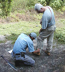
We cleared away the brush from the area and investigated the pit. The sinkhole served as a drainage conduit in the karstic valley bottom. It was approximately 4 meters in diameter and 2-3 meters deep. The pit was filled with debris and mud, which made it difficult to tell if it went any deeper than what we could see from the surface. Although this sinkhole indicated to us that our system worked this time, it was our determination that the sinkhole most likely would not permit human passage beyond 3 meters.
Following a brief investigation in the immediate surroundings we headed through the jungle to locate point 5. The GPS and the maps indicated to us that we needed to skirt the side of a mountain and drop into another valley 400 meters away. The jungle became much thicker during our journey, and it required all of us to chop a passage through the unforgiving foliage. We reached point 5 in about an hour but were disappointed. The GPS signal down in the valley was intermittent, which made it difficult to pinpoint the exact location of point 5. We explored around a 50 meter radius in the area and the only feature we could find was a marshy section with a very slight depression in the center. We searched around again and then decided to call it a day and make the 3 kilometer hike back to the truck.
|