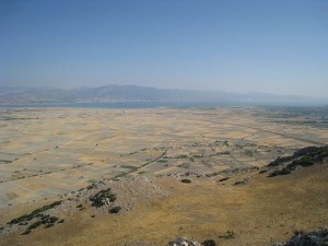
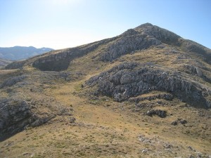
 During previous archaeological survey campaigns (1993-1997), we had observed that all the places with the toponym “kale” (or fortress in Turkish) bore the remains of (extensive) fortification walls or (smaller) forts. At that time, the dating of these kales was difficult since the pottery retrieved was highly undiagnostic. However, it was clear that these kales were not randomly implanted in the landscape; some of these kales were strategically located to control wide stretches of land or to keep an eye on neighbouring kales, be it to enhance communication or to control movement. Since then, progress in ceramological research has been substantial and, together with the aim of more accurately registering the degree to which other fortresses were visible, in 2009 some of these sites were revisited by a team of archaeologists (Hannelore Vanhaverbeke, Geert Andries, Sarah Geijssens) and a GIS/geomorphological specialist (Véronique De Laet), with the aid of our temsilci Mehmet Katkat. The information on the chronology, extent and function of the kales and to degree to which they offered views on their surroundings
 will be used to perform a viewshed and least cost path analysis. By calculating the viewshed, the area visible from each of the sites is derived, as well as their intervisibility. Least cost path on the other hand provides information on the most likely routes to the kales. This is relevant to estimate the outreach of these forts, especially the larger ones, which can be considered as refuge centers for wider regions.
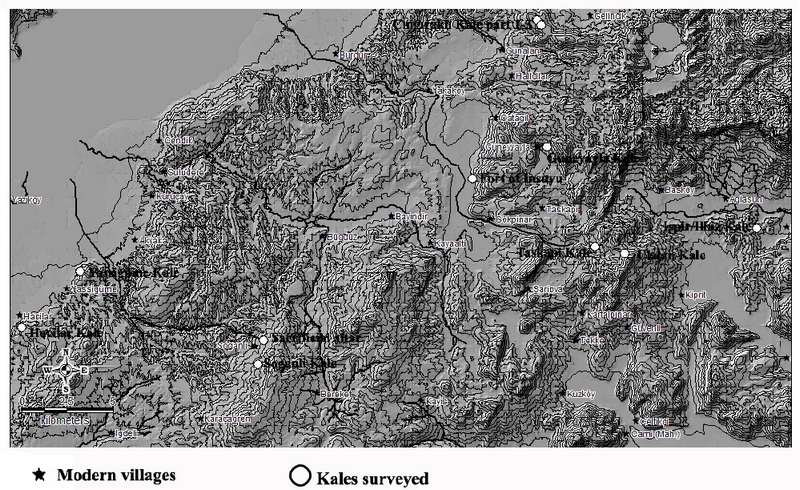
During this year’s survey, we planned to explore nine sites (see map). However, due to the menacing presence of roaming shepherds’ dogs, the site at Ispir near AÄŸlasun could not be checked. For all other sites GPS measurements were taken, artifacts were sampled, and pictures of the different views from each kale were taken. These data constitute the basis for the analyses in GIS, which will be performed in Leuven.


