|
A Few Disappointments
The plan for day five was to check out three of the new points, X3, X4, and X5, which were all close to each other. We headed out into the jungle to find these points, hoping they would yield better results than the ones we visited before.
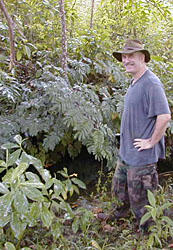
We located point X3 with little difficulty. It marked a small spring on the side of a hill. The pool was only about three meters in diameter and two meters deep. Although this feature was, again, not exactly what we wanted to find, it was definitely a depression in the ground away from any valleys. We felt that this was at least a promising beginning for the new generation of X points.
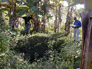
We climbed up to the top of a small mountain and immediately located point X4. This point marked the location of a deep circular depression on the top of the mountain. Although the hole only went down for about four meters, it may have been a feature made by the ancient Maya. Based on the morphology of the side walls we surmised that this pit may have been a quarry or borrow pit used by the Maya. An alternative explanation is that it was once a deeper sinkhole that filled in over time.
Either way, we are fairly certain that the Maya used this feature for some purpose as there is a small plazuela group of pyramids three meters from the western edge of the sink. One of the structures has a looters' trench in the side of it, but from the looks of things it did not appear that the looters capitalized on their efforts.
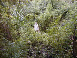
We then set off driving down the hydro road for about two kilometers and then prepared for a long hike to point X5. Following a bit of difficulty with GPS satellite signals, we located the point. Initially we were very excited as the feature marked by point X5 looked like a classic sinkhole entrance. However, the sinkhole choked out at a maximum depth of three meters. It may very well have been open and deeper during the time of the ancient Maya but we were unable to continue any further.
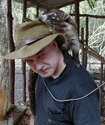
| Before we started out on day six, we all helped out with William's farmwork. Bruce made friends with William's pet coatimundi while William and Cameron tended to the chickens. |
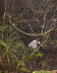
On the sixth day of the project, we decided to make the long trek out to sinkholes 1, 2, and 3. We drove 16 kilometers away from the camp on a few "roads" and began hiking into the forest. We located point 3 with relative ease as it was reasonably close to the road. The point marked a circular depression again--one that was surrounded by banana plants. The hole was only two meters deep and contained a small amount of water. We had been excited about this point from the beginning, but it didn't pan out as we had hoped. The radar data was leading us to sinks, but not the extensive sinkholes we desired.
We hiked for a total of four hours to visit points 1 and 2. As we suspected from both the preliminary analysis of the radar data and the analysis informed by the training samples, they did not yield sinkhole features. Point 2 marked the convergence of two deep gullies, and point 1 fell on a depression within a ravine. The only redeeming part of the day came with the blue morpho butterflies that joined us on the long hike back to the truck.

|