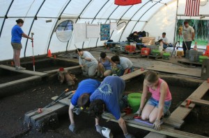
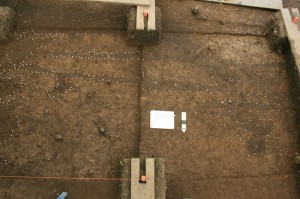
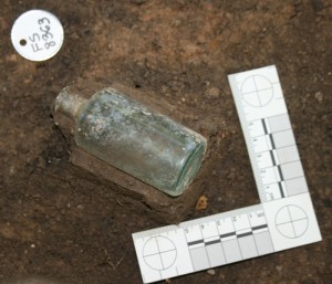
Our group, that being group D, and all the others have been mapping all features and artifacts located in-situ in our units and the latrine. The purpose of mapping both features and artifacts is to record the provenience and context within that unit. Mapping requires the following tools: a tripod, total station, plumb bob, level, and a stadia rod with attached prism.Â
To begin mapping you must first set up the tripod over a datum point. A datum point is a known point of reference within the greater context of the site. The datum points of Johnson’s Island are all referenced from several permanent datum points placed within the site. Next one should hang a plumb bob from the hook located at the apex of the tripod and place the level on top of the apex. Then you make the tripod and the plumb bob level over top the datum point. At first this was difficult for our group. Then you place the total station on top of the tripod and secure the total station in place. Next you level the total station by turning the dials to level it out and check the eyepiece to make sure that the total station is directly above the datum point. If this is not the case adjust total station or repeat the preceding steps. Once the total station is correctly set up you can backsight. To backsight you must sight in another known datum point and place the total stations crosshairs on the appropriate spot. In our sites case this is typically at the base of a nail set in a stake representing various datum points. Once the total station is sighted in you can turn on and enter data into the total station. You first input the Northing and Easting of the datum point over which the total station is positioned. Next you enter the Northing and Easting of the datum to which you are shooting to, and make sure the total station is set for meters.Â
What we map on our sight are features and artifacts. Features are disturbances in the ground and changes in the soil. These are mapped out to show their significance to the site. We use the total station to measure with the stadia rod to identify the exact location of the features that were previously mapped with pins. One person is in charge of positioning the stadia rod in a level position over the pin, while another person is operating the total station. A third person is recording the Northing and Easting numbers.Â
With this recorded data, we can input the numbers and with a program that plots the location of the feature or artifact.


