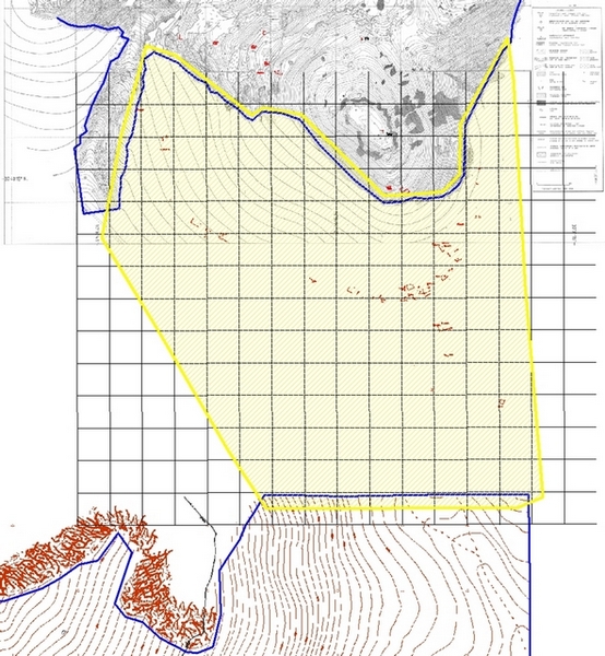
The topographical survey this campaign was carried out in the area south of the city of Sagalassos and north of Tepe Düzen. The long term goal is to fill the gap between the large scale topographical map of Sagalassos created over a time span of 15 years and the topographical map of Tepe Düzen that Sabri Aydal made during last year’s campaign. This area is about 1 square kilometer in size and its extent can be seen in Figure 1. This unmapped zone is covered with archaeological artifacts such as the remnants of houses or look-out posts mainly located on the southern slopes of the Alexander’s Hill, bordering Sagalassos in the south, and the valley to its east. Archaeological artifacts were already surveyed by Sabri Aydal in 2008, so this year’s survey would focus on measuring elevation and other topographical features like cliffs, large piles of stone and vegetation areas.
The area being 1 square kilometer turned out to be too large to cope in the three week period the measurements were carried out. Due to this short period of time, the fact that archaeological artifacts had already been mapped and the roughness of the terrain, we decided to measure only elevation and a dozen of ground control points in order to do the large scale mapping on the georectified Quickbird satellite image of which the panchromatic band has a resolution of 60 to 70 centimeters.
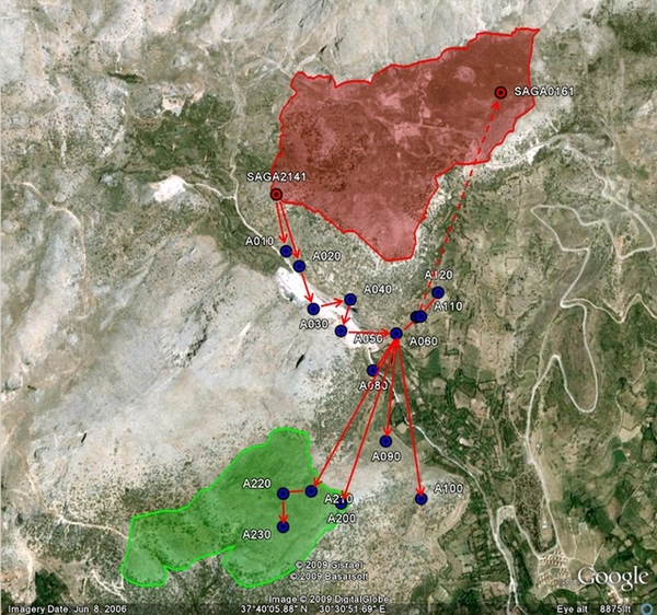
Being outside the Sagalassos city area, our first concern was to have a network of geodetic points that could be used to set up the total station and do the detailed mapping. We created this network of new points in the valley south of the Alexander’s Hill, starting from the only existing geodetic point in the Sagalassos area with this valley in its viewshed. The new points were set out eastwards doing resection well into the valley bordering the hill to its east. There, we were able to close the resection using another existing geodetic point located in the Potters’ Quarter. We took the opportunity to define several precise locations in the area of Tepe Düzen as well, but measured in the local coordinate system in use in Sagalassos today. The network of new points can be seen in Figure 2.
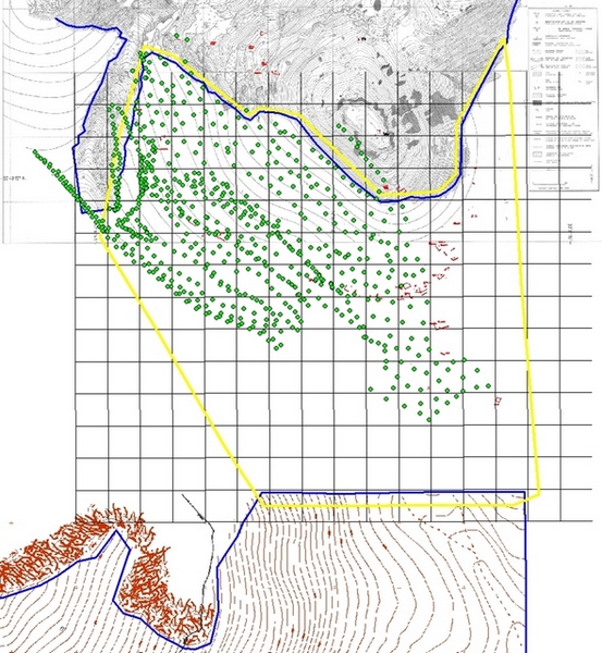
Having a new set of geodetic points in the area to be mapped, we started measuring the elevation of a large area covering the southern slope of the Alexander’s Hill connected to the valley west of the hill which had already been measured in previous years. The area covered and the elevation points measured can be seen in Figure 3. Having a detailed elevation model of this part of the hill and a set of ground control points, we are now able to use the georectified satellite image to do the detailed mapping. This work still has to be carried out in the remaining months of 2009.
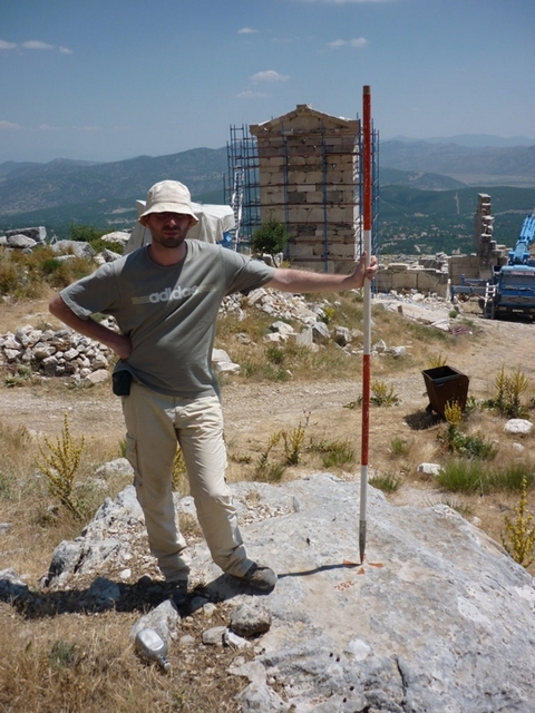
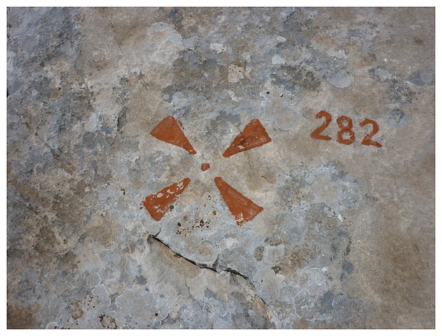
Apart from the topographical survey, some time was spent to document the existing geodetic network in Sagalassos. We went searching for as many points we could find, noted down their state in a logbook and took pictures of their location and surroundings (Figure 4 and 5). No less than 80 points were found and documented in this way, some of which were already abandoned for years (due to the fact that they were assumed to have been lost). This metadata of each point’s status and the images locating them, together with the history of the point’s measurements will be stored in an easy to access catalogue before the start of next year’s campaign. It is our hope that having such a repository of information at hand, other (geo-related) disciplines will be able to quicken their fieldwork and be more confident with regard to the precision of these points’ coordinates for their own measurements.
The small scale topographical survey in 2009 was carried out by Simon Depas, Burak Duden and Joeri Theelen.


Topographic maps, like most other maps, have a legend that indicates the scale and the meaning of the symbols used in the map.
I agree that a (topographical) map should have a legend and scale. The images published with the report do not show our topographical map, however, an merely illustrate the text. They should not be used as standalone maps. For maps with regard to the Sagalassos excavation, consult our website. We are working on an on-line version of the completed topographical map, soon to be published on our website.