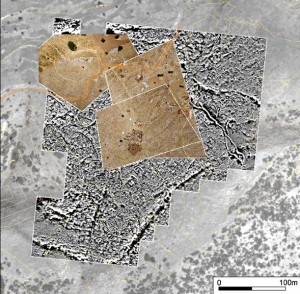
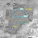
Priority of geophysical survey at Tepe Düzen in 2009 field campaign was extension of previously magnetically surveyed areas towards the south fortifications. In total an area of 4 ha was surveyed by magnetic method. Architectural remains of presumably Classical/Hellenistic period made of non-magnetic limestone blocks close to the surface and strongly magnetic top soil (in average 7.10-5SI) assured good contrasts in magnetic properties and consequently clear recognition of architectural remains.
 |
 |
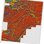 |
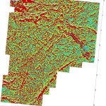
| Magnetograms represented with different histogram manipulation applied. | ||
In almost all magnetically surveyed areas internal subdivision of building is clearly discernible. The reliability of interpretation based on magnetic prospection was already proved by test excavations conducted by Kim Vyncke in 2008.
 |
 |
|
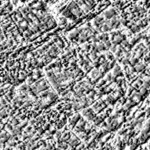
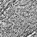
| Some details from magnetic prospection illustrating potential of magnetic method for architectural remains recognition. For position on general magnetic map see figures above. | ||
The question which arises from geophysical survey is efficiency of surface features on quality of extracted archaeological information. For instance: variability of surface morphology and heaps of ruination material normally “blurs” deeper sources of magnetic anomalies. For identification of such areas terestrial geodesy was used for depicting larger surface features identified on the site. Besides of this approach close distance aerial photographs from helium balloon platform were recorded in 2008 for detailed impression on surface conditions (see figure below). On selected areas, already covered by magnetic prospection, ground penetrating radar surveys and aerial photography, detailed topographic survey was applied for precise digital elevation model, which will be used, besides of other information, for creation of theoretical magnetic models of previously identified architectural remains. This approach should give crucial information needed for reliable interpretation of magnetograms on Tepe Düzen and also on other similar sites on carstic areas elsewhere.

