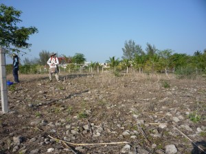
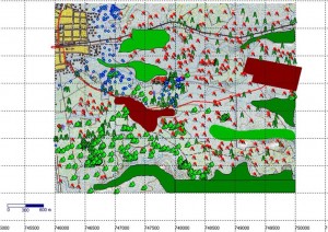
Finally, last field day! After four months of walking around 13 square kilometers, we’ve finished this first step of the survey. It included the collection of all archaeological materials remaining on mounds and in other concentrations. Apart from that, we mapped all the structures using a GPS device. The density of the evidence is so high–approximately 300 mounds per square kilometer–that we had to extend the season for two months. This density raises many questions, since for surface material it is relatively low. So we need to come up with a good explanation on why we have a huge architecture investment contrasting with few material remains, which normally indicates a short occupation period.
Jonathan and I were talking about this last night and we agreed that understanding the reasons for the settlement of the communities around the area will shed some light on this matter. In order to do that, we are analyzing the different advantages that the environment provides: cotton agriculture, calcareous soils, fauna, etc. However, water is scarce, since Los Pescados River is located about 3-4 kilometers to the south. There are many of streams but they remain dry most of the year, running only during the rainy season. We will need further reading and discussion, as well as extended surveys of the area to answer these questions.
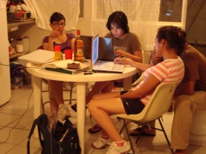
After the field, we kept working at the camp-lab digitalizing the forms, organizing photographs, editing maps, etc.
Anyway, we are now left with thousands of ceramic fragments, lithic artifacts, a messy laboratory to clean up, and a lot of questions that will be answered once we get all the field data processed and the analysis is undertaken. The students have “abandoned†us since the academic term has already started, so we’ll need to re-organize work. In the meantime, we’ll celebrate the ending of the season!


do you mind if I show this on my twitter?
Feel free to tweet about this Interactive Dig!